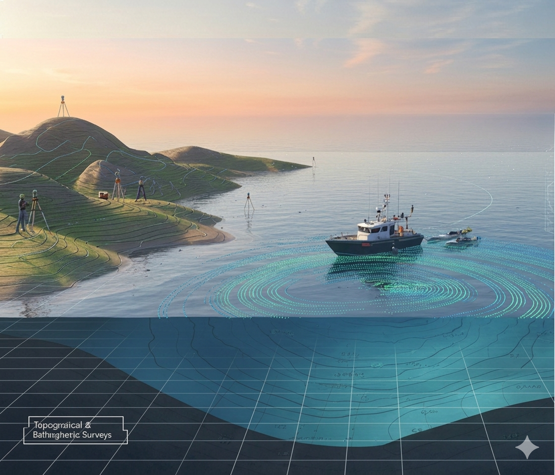
We provide precise topographical and bathymetric surveys to map land and underwater terrains using advanced GPS, Total Station, and echo-sounding technologies. These surveys deliver accurate elevation and depth data essential for planning, design, and engineering of infrastructure and marine projects.